Location
Explore public bodies on the map.
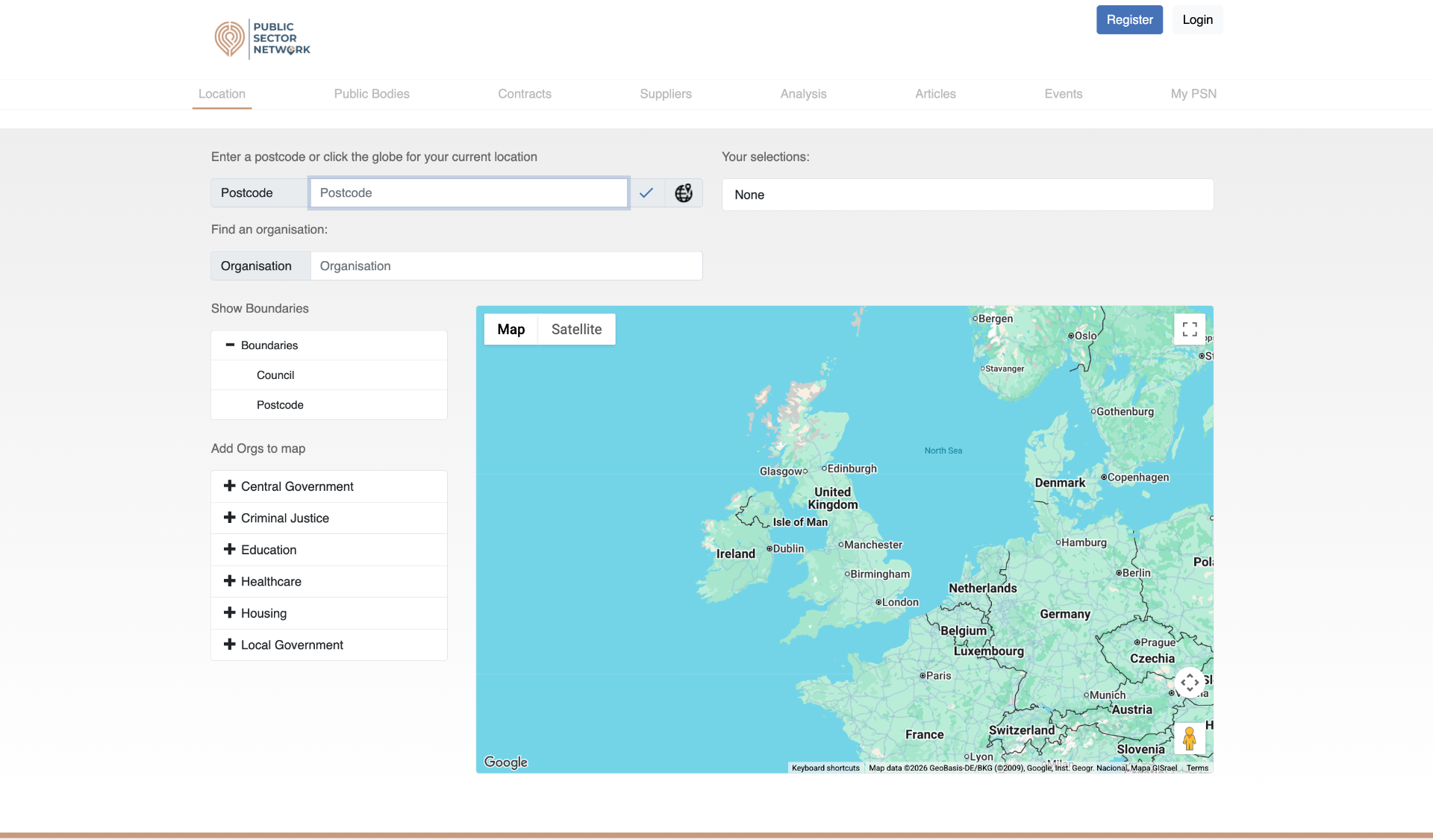
The Location tab is a map-first view of the UK public sector. Drop in a postcode (or hit the location icon to use your current position) and the map centres on that area with the relevant boundaries drawn in.
Layer in the organisation types you care about — councils, NHS, schools, housing — and the map populates with every body that serves that location.
What you can do here
Postcode lookup
Type any UK postcode, or click the globe icon to centre the map on your current location.
Boundary toggles
Show or hide boundary lines for councils and postcode districts to see who covers what.
Add organisations
Switch on layers for Central Government, Criminal Justice, Education, Healthcare, Housing or Local Government.
Organisation finder
Use the search box to jump to a specific organisation by name without needing a postcode.
Selection list
Everything you toggle on appears in the “Your selections” panel so you can keep track.
Live org list
A list view on the side mirrors what's on the map, making it easy to click through to detail pages.